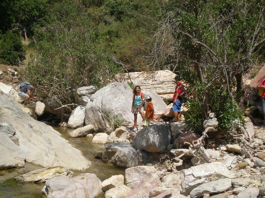
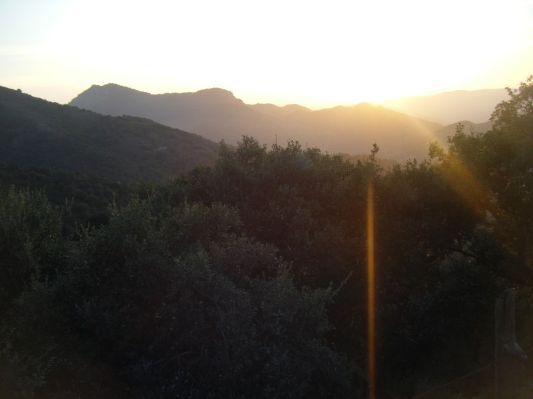
Climbing El Almendron 1507m, near the Nerja Caves / Cuevas de Nerja
Wednesday, February 23, 2011
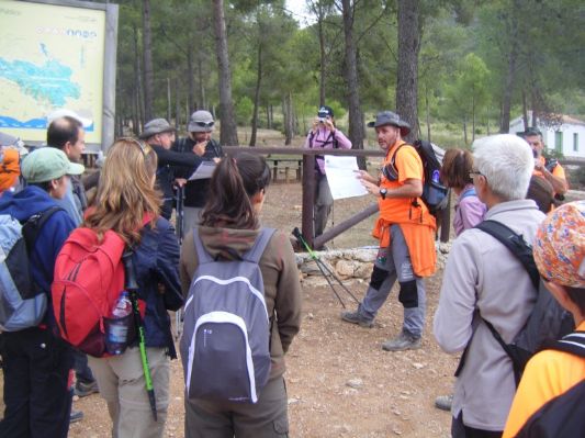
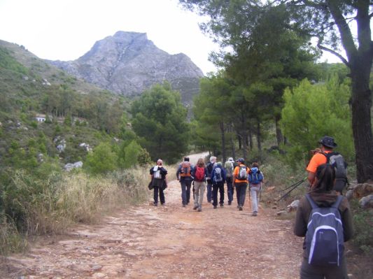
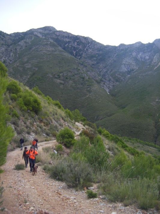
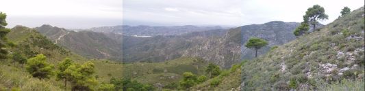
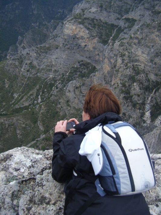
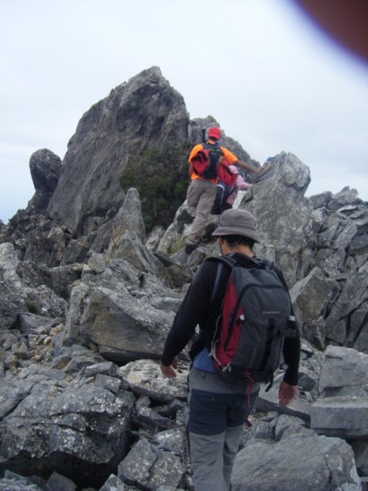
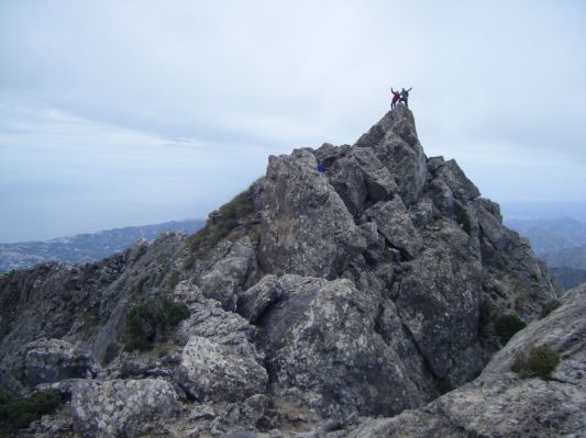
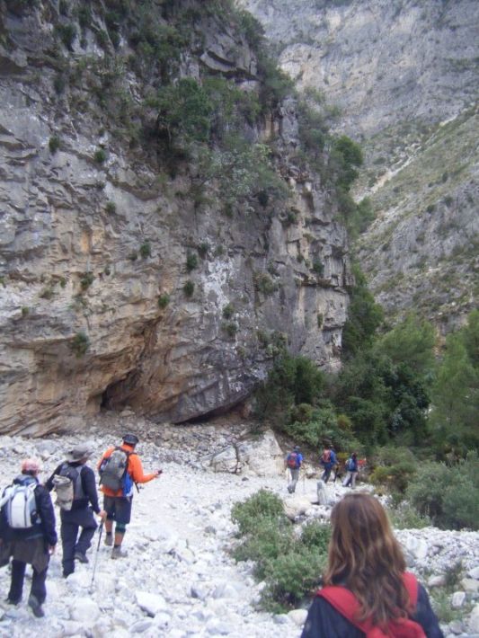
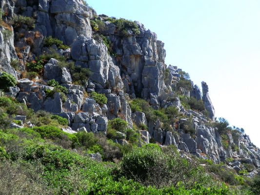
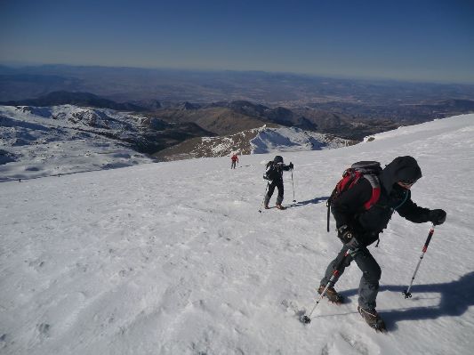
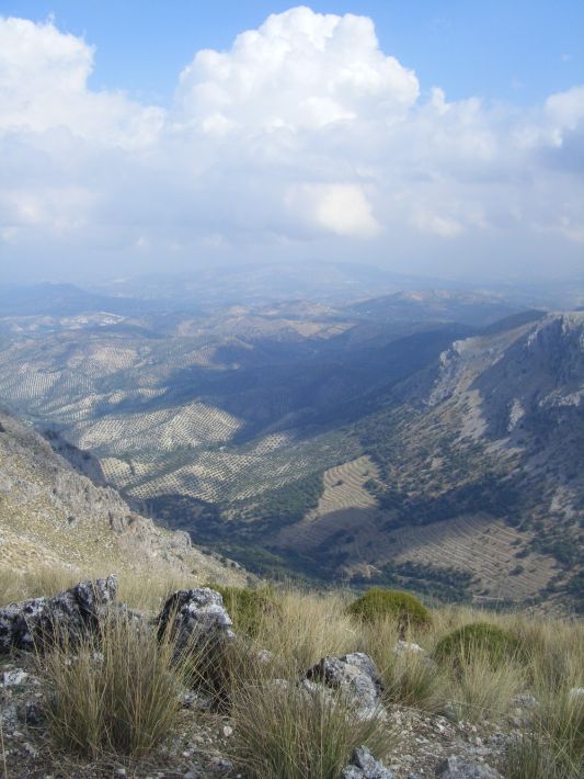
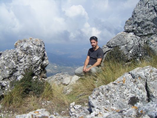
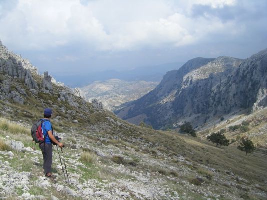
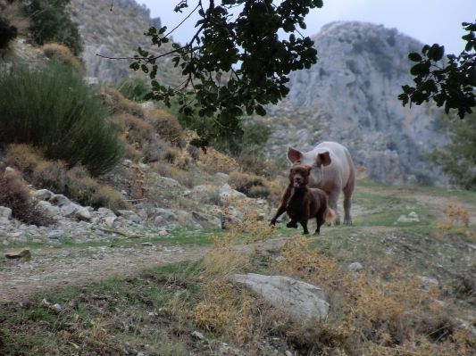
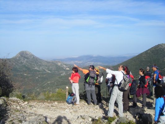
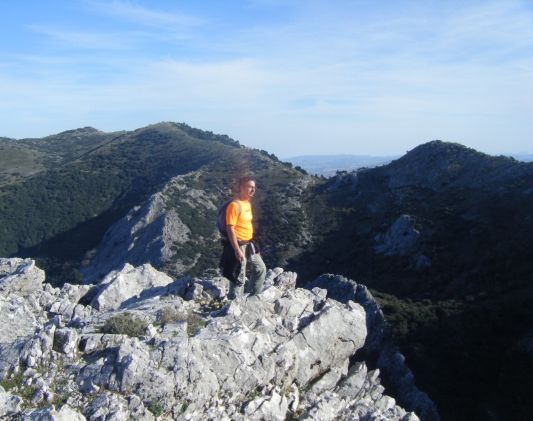
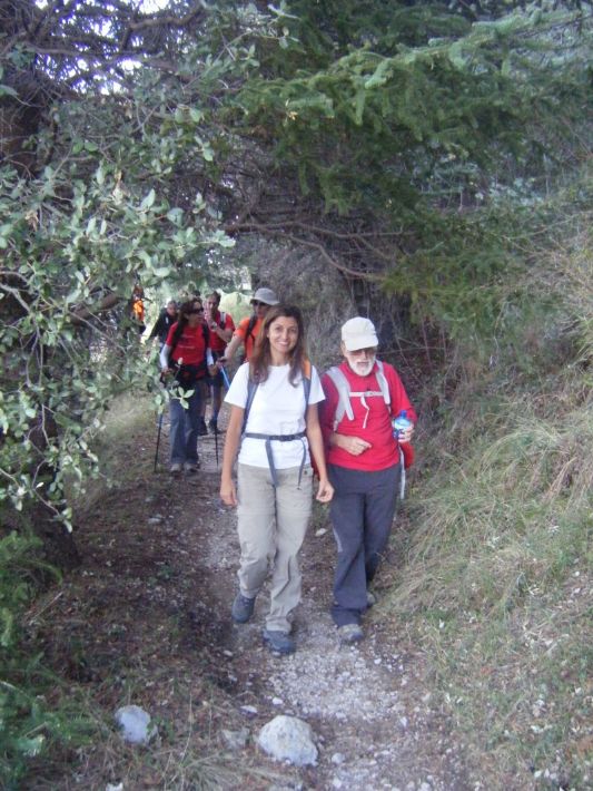
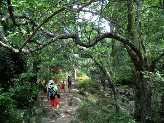
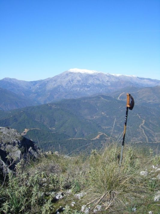
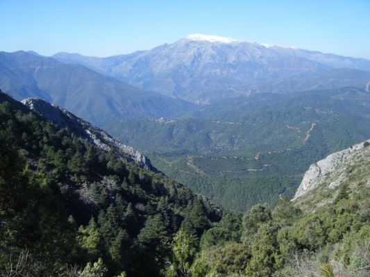
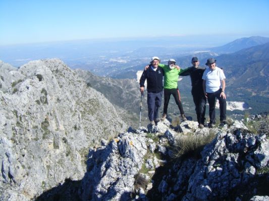
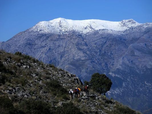
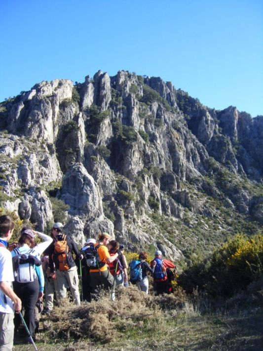
This mountian is the imposing peak of El Almendron in the Natural Park of Sierra Tejeda, near Nerja. Follow directions to "Cuevas de Nerja" and from the parking of the caves follow signs for "área recreativa del Pinarillo", a little recreational area 2 kilometres further inland. From there you continue on the dirt track (cars are not allowed and in any case the road is in bad state) until ... you reach the peak!
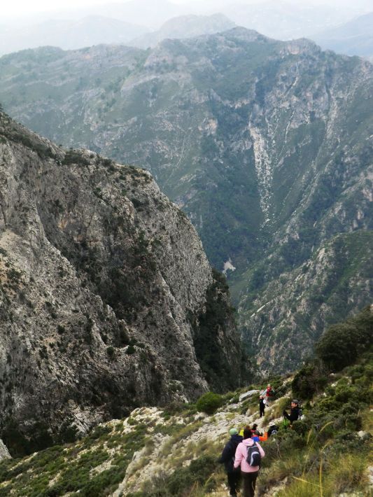
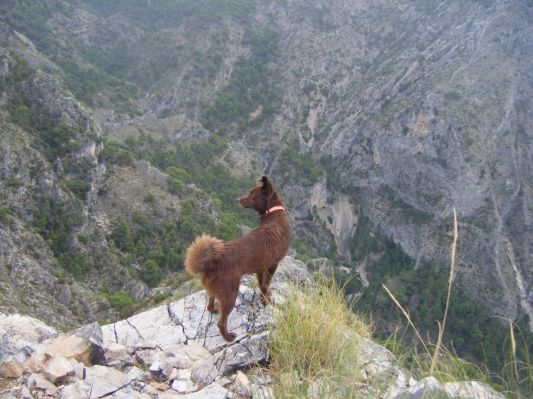
This is a difficult rural terrain, the inclination is high, and depending on the time of year, the rocky sections can be slippery. It's reccommended to take 3-4 litres of water with you and a torch. The rewards are maginificent views that you can not get from anywhere else, no matter where your villa is situated! Some sections have vertical drops so bear that in mind if you suffer from vertigo. Suffice to say that from our group of 20 only 11 made it to the top.
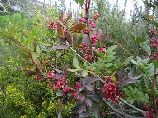
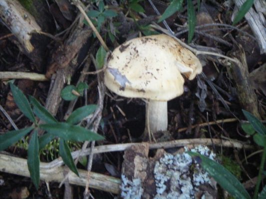
The way down takes you through rocky and forested paths, and also through a dry riverbed, full of surprises... photographic ones I mean. Enjoy the trip!

 0
Like
Published at 7:47 PM Comments (0)
0
Like
Published at 7:47 PM Comments (0)
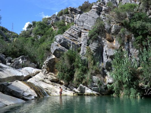
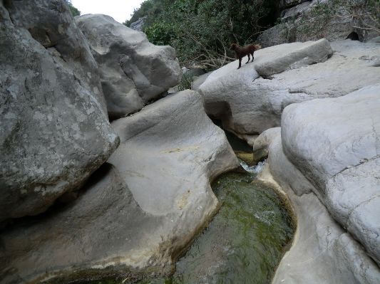
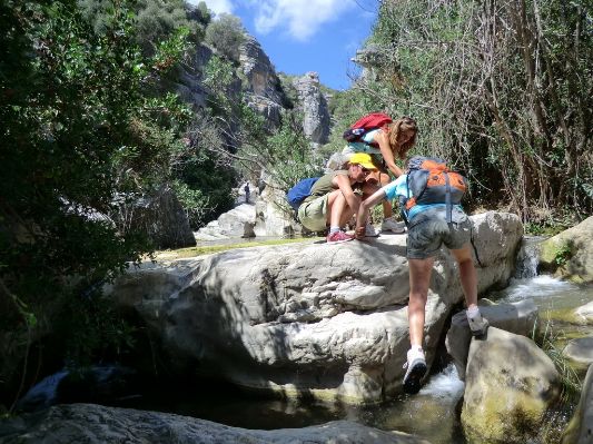
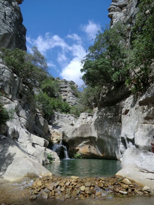
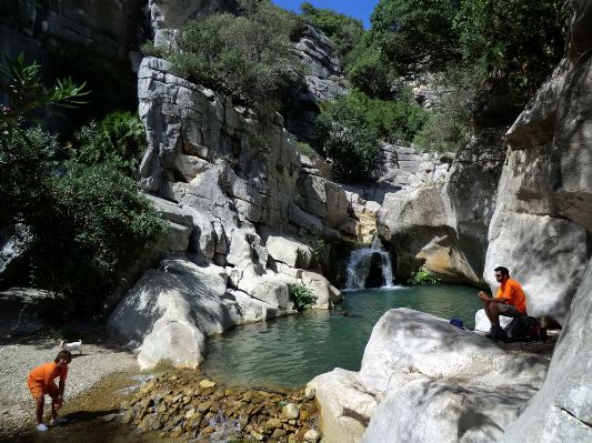
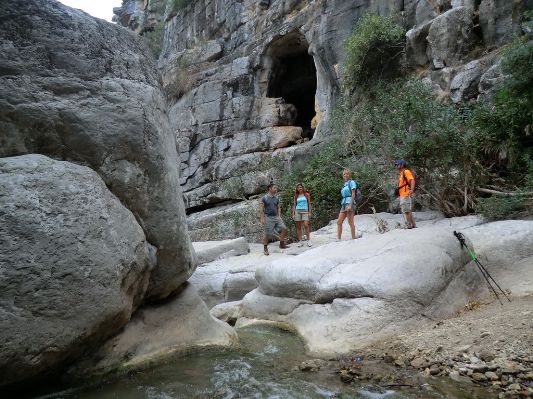
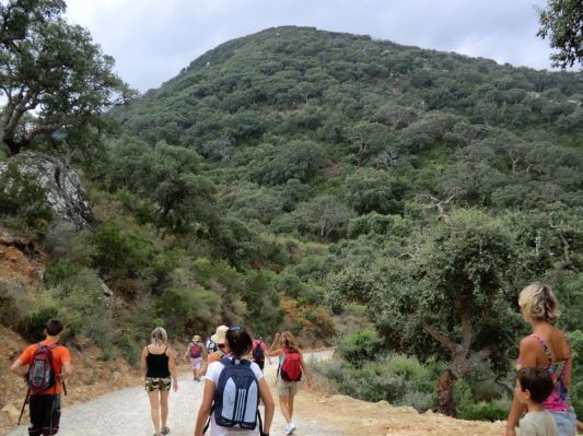
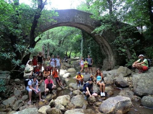
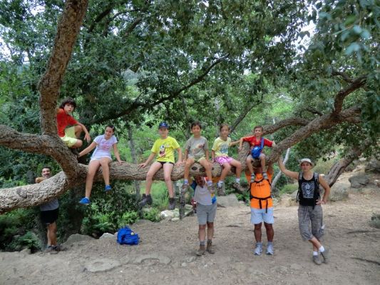
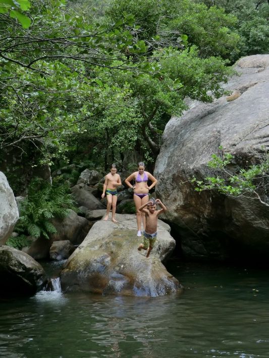
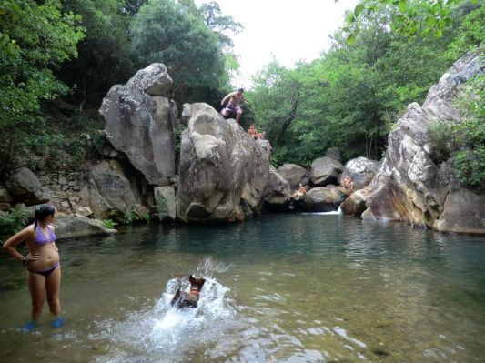
Manilva hiking part 2, upstream the Rio Manilva
Monday, February 21, 2011
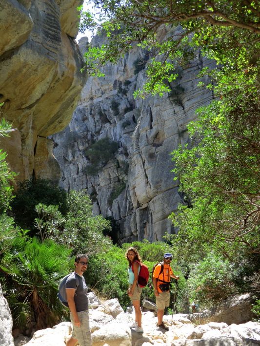
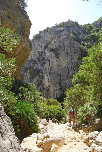
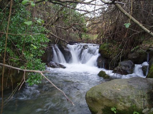
As I mentioned in my previous post about Rio de la Miel being so close to Algeciras, it always amazes me how you can find yourself in such rural surrounding so close to the coast. Another example of this is the river Manilva. To get to the correct point to start this route, you turn off the N-340 at the Lidl exit of Sabinillas. Continue inland on the dirt track until you pass under the toll road bridge, then park somewhere there and continue on foot, keeping to your right. You will find the river behind a row of holiday bungalows that are nromally busy with rural tourists. We seek adventure so we promptly leave those behind  , and walk upstream inside the riverbed. Avoid the thorns and dense vegetation and take a break when you reach the first lagoon. It might not be a Brooke Shields movie but it definitely isan impressive spot for swimming, relaxing, and enjoying nature away from any kind of noise. , and walk upstream inside the riverbed. Avoid the thorns and dense vegetation and take a break when you reach the first lagoon. It might not be a Brooke Shields movie but it definitely isan impressive spot for swimming, relaxing, and enjoying nature away from any kind of noise.
For the more daring amongst you, continue further upstream after your break until you reach the upper lagoon where the cold water will provide you with a much-needed refresh. Warning: spoiler below, don't scroll if you don't want to see the fotos!

0
Like
Published at 10:31 PM Comments (0)
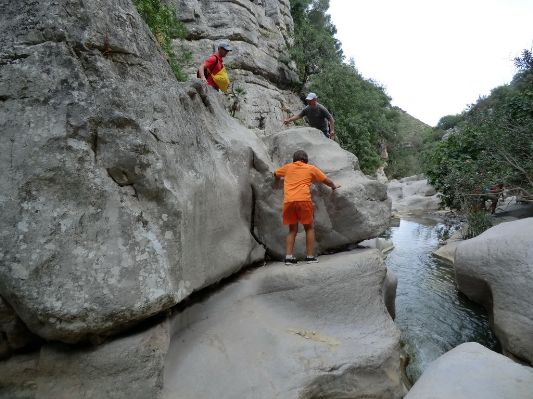
Manilva hiking part 1, Utrera rock formations
Sunday, February 20, 2011
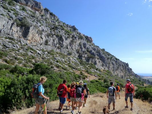
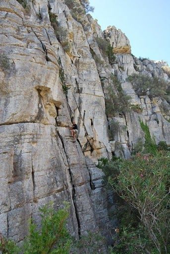
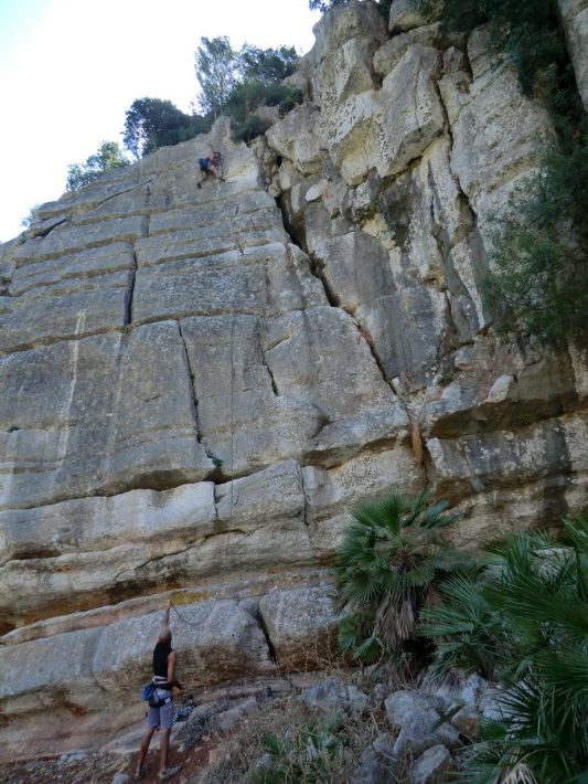
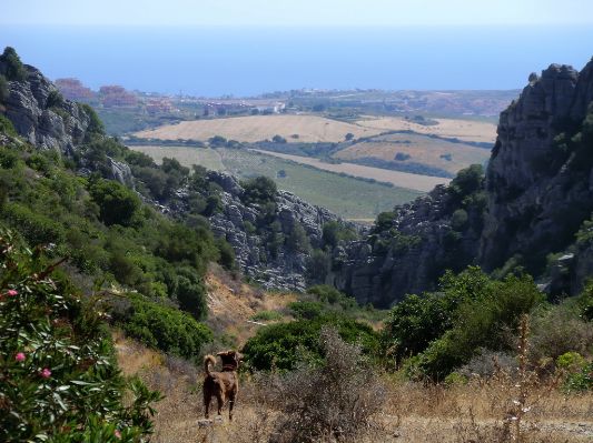
A two part hike that took place in September 2010 was very near the EyeOnSpain's home, Manilva. To get to the start of the route you take the road uphill to Manilva (Manilva is west of Estepona towards Algeciras), go through to the other side towards the toll road, then continue to the road towards Casares. You pass an area of windmills (subject of the 2nd or 3rd Siesta Show - bring them back!) and on km7 you take a right into a dirt track. You can then see the rock formations that should have made this area a protected zone .... instead there is a mining company ravaging through them! So visit before they are gone.
The proper name of the rock formations is "Torcal de la Utrera" andd is popular with rock climbers. You enjoy great views of the coast whilst descending through dense bushes in between the rocks. Best done nearer the summer months because in winter there are fast waters running through and it is slippery.
Tomorrow in the second part we explore climbing the river Rio Manilva up to its springs. Both of these excursions can be done on the same day.
0
Like
Published at 1:55 AM Comments (0)
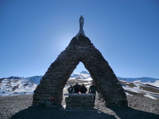
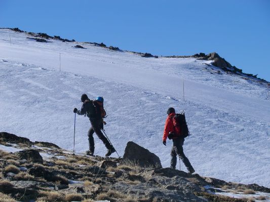
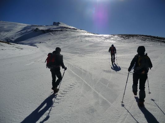
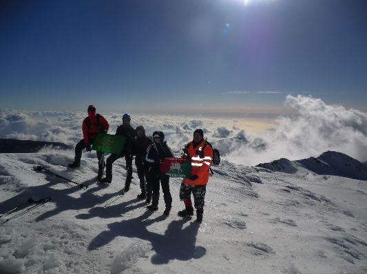
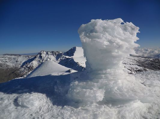
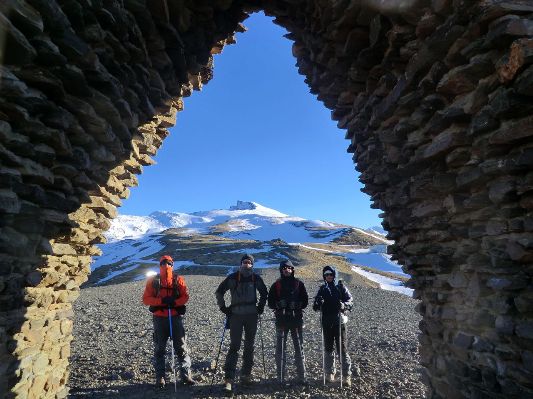
Climbing La Veleta 3,394m in Sierra Nevada, Granada
Friday, February 18, 2011
Sierra Nevada in Granada, Andalucia, is always impressive regardless of the time of year. But especially in winter, just before Christmas, there's an added allure to the ever white mountain. I was not present in this route but some friends from the club went last December and the fotos they came back with are impressive.
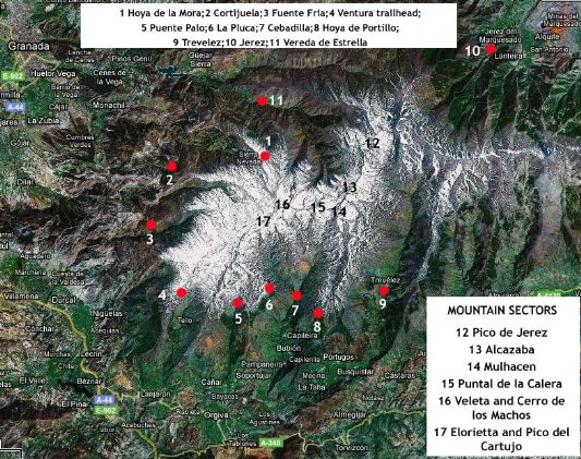
To get there you need to follow signs for Sierra Nevada from Granada. There is a special parking place near "Hoya de La Mora" where you can see the peak of La Veleta directly. For orientation see the map below. The climb is from point 1 to point 16:
It is possible to do the day trip from Malaga and back in one day, but make sure you take plenty of lunch with you! There is not a lot up there.... Enjoy these unique fotos, and to join us visit http://comandopreston.blogspot.com/2010/12/ascension-al-veleta-desde-la-hoya-de-la.html
0
Like
Published at 4:33 PM Comments (0)
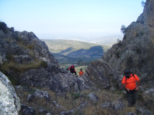
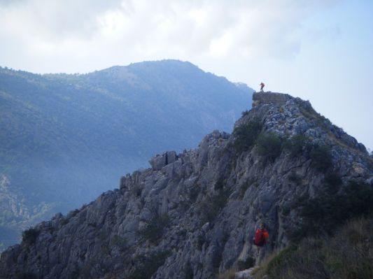
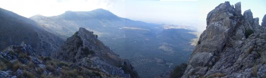
Pico Bermejo 1474 metres near Granada
Wednesday, February 16, 2011
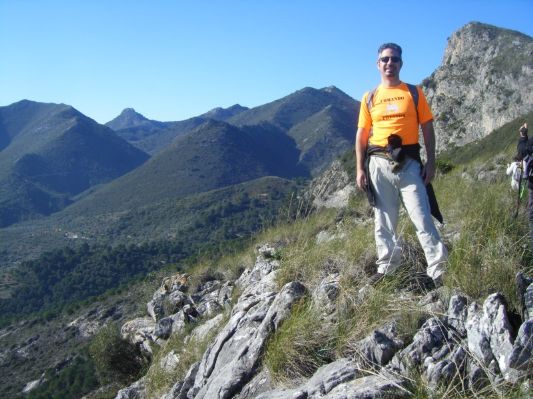
On the road between Malaga and Granada, near the village of Rute, we started our ascent towards one of the highest peaks of the "Sierra Subbetica Cordobesa" (second highest of the Cordoba province). To get there follow these directions:
http://maps.google.com/maps?f=q&source=s_q&hl=en&geocode=&q=rute+granada&sll=37.857507,-95.712891&sspn=53.092918,134.912109&ie=UTF8&hq=&hnear=Rute,+Cordova,+Andalusia,+Spain&ll=37.325397,-4.371185&spn=0.84961,2.108002&z=10
It's a really tough start to the climb, where the path is hardly visible and there are some steep rocky inclinations leading upto "Jardín del Moro", old fort from arab times, that dominated this area. A rest is advised at this point, before following the crest line towards our aim of Pico Bermejo. The path is fairly well marked and at the top the views are impressive, especially of "La Tiñosa" 1570m highest peak of Cordoba. The quietness is awe inspiring as there is nothing moving except the wind on this rocky top.
The descent of 750m towards the other side of the mountain brings us through various cortijos and through pleasant sandy hills back to our starting point. A pleasant October excursion.
.JPG)


0
Like
Published at 11:01 PM Comments (0)
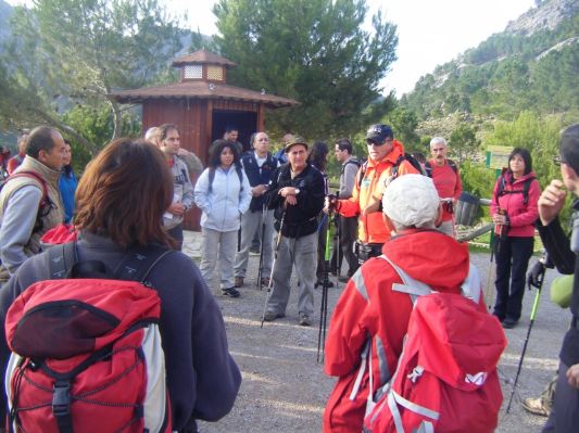
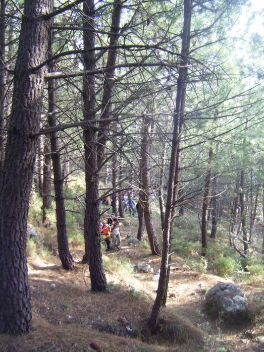
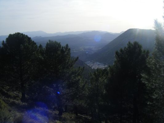
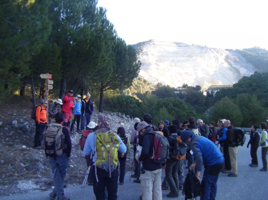
Sierra de Grazalema - Dec 2010 walk
Tuesday, February 15, 2011
The Sierra de Grazalema was declared a Unesco Biosphere reserve in 1977 and the first natural park in Andalucia in 1984. It is one of Spain's most ecologically diverse areas. The region is famed for being the rainiest place in Spain, with an annual rainfall of 2,200mm, which ensures that the numerous unique or rare plant species that have been registered here, flourish. Around 3,000ha of the park is called an Área de Reserve, with the most fragile ecosystems, Spanish fir forests and black vulture colonies. Conservation measures are more strict than the rest of the park and visits are controlled in terms of dates and numbers. We managed to get such a permit early December 2010 and although we were not allowed to climb el Torreon (the highest peak of Cadiz at 1645m) we did share a unique experience - enjoy the pictures:
0
Like
Published at 10:05 AM Comments (0)
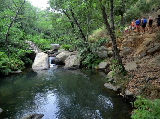
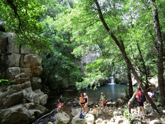
Rio de la Miel summer trek
Friday, February 11, 2011
This is a flash from the past: last summer's trek to Rio de la Miel near Algeciras. Travelling towards Tarifa from Malaga on the N340, there is a sign for “barriada del Cobre” and that leads to the start of the route. It's an incredible place at such proximity to Algeciras - the contrast to the industrialised city is unbelievable.
The route is easily done with children, and is very interesting as it is dotted with old mills that were in use until recently. It's advised to bring sandals and a swimming suit to fully enjoy the ambience, reminiscent of jungles and more tropical places than Algeciras!
Enjoy the fotos:

0
Like
Published at 10:19 AM Comments (2)
Ojen, like i've never seen it before...
Friday, February 11, 2011
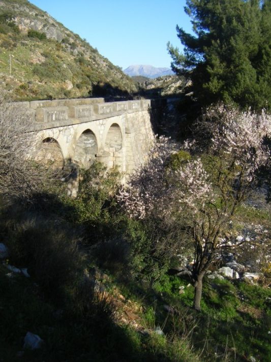
Between Monda, Ojen and Istan. Distance approx. 22 km. Elevation approx. 1,200 m Starting point: Ojen (365 m) Highest point: Picacho Castillejos, (1,232 m) Approx. 8 hours Difficulty Level: medium-high Type of terrain: forest trail the first few miles up the Loma de Los Cuchillos (Hill of Knives) and the Olivar de Juanar. The rest was rocky trails, sandy fields along the crest and through in a couple of short but intense stretches. Type of course: Linear. Date: Saturday February 5, 2011, wonderful day of clear skies, light breeze from the east, snow still remaining from the previous week in the Sierra de las Nieves and La Maroma.
After the first crossroad at about 800 m. from the start, we left the paved road, taking a track on the left, heading south. We start the climb towards our objective, leading to our left the stream Cañada Canucha that separates us from some orchards where almond trees were already blooming. Without respite, we were gaining height between rolling hills populated by Mediterranean scrub, up to "La Fuente de la Palma" (620 m.) where we stopped only for a short while, as we had only just started the route. We continue in long zig-zags to the end of the lane, where enjoyed the view to the north of the first snow of the mountain Sierra de las Nieves, the unmistakable silhouette of the Sierra Prieta and Alozaina and Yunquera Cabrilla, and much of the Guadalhorce Valley to Teba, the Huma, and the nearby town of Monda crowned by its castle.
With its sights set on the crest increasingly close to us, which highlights the pyramidal shape of the Alto de Canucha or knife, we were walking at a brisk pace but not without caution. We finally reach Alto Canucha o El Cuchillo(1.206 m) where we regrouped for a small pause. That was our first peak of a total of three! We then give a final push to reach pico Castillejo (1.238 m), offering amazing views of Morrocco, Sierra Blanca, and Sierra Nevada in the distance to the East.
After having our (extended) lunch, we continued along the crest of the mountain range towards Ojen, walking through a forest of "pinsapos". We then followed the zig-zagging path that leads to the beautiful pine forest of Juanar, reaching in few minutes the famous three way crossing: Istán where we came from the west, La Concha south towards where he would continue climbing the to crown the Cruz de Juanar peak, and Ojen-Juanar Refuge to the east, an option that some of us chose for various reasons, ranging from the wisdom of peers who did not want to force themselves more to the necessity of returning to work at 8:30pm for others! So after the three peaks it was time to start the descent towards the village of Ojen, passing from the botanic garden of the village.
I'll let the pictures fill in the gaps of the description:

0
Like
Published at 12:10 AM Comments (0)
Spam post or Abuse? Please let us know
|
|